Tejano History
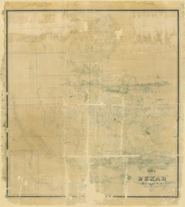
1845 Map of Bexar County
Map/Doc #: 82242
Digital TIF Size: 881.14 MB
Digital PDF Size: 45.69 MB
Subject: Colony District Maps, County Maps.
Title 1: Map of Bexar County
County: Bexar, Zavala, Frio, Atascosa, Karnes, Goliad
Creation Date: xx/xx/1845
Draftsman: H. L. Upshur
Surveyor: John C. Hays
Size: (in inches) 81 x 90.6
Format: digital composite
General Features: Working map on which updates were posted, these counties were labeled when formed: Zavala, Frio, Atascosa, Karnes, Goliad, Dimmit, LaSalle, McMullen, Gonzales, Medina, Bandera, Edwards, Kerr, Kendall
Named Features: Cities: Fredericksburg, Vandenberg, San Bartole, Seguin, Castroville, Bandera, New Braunfels, San Antonio
Roads: Guadalupe-Nacogdoches, Comanche Trail, Walls (Woll's), old Presidio-Rio Grande, Presidio, old crossing on Frio, LaBahia Colorado, Llano, Sabinal
Forts: Inge, Camp or Hudson
Mounds: Hudson
Springs: Walnut
Mountains: House, Bull Head
Collection: Colony and District
Comments: Adopted in 2006 in Memory of Charles Wallace Pratt by loved ones and conserved in 2007.
Digital composition of counter numbers 87234, 87235, 87236 and 87237. Prints made at 65%.
Maps courtesy of Texas General Land Office


