Tejano History
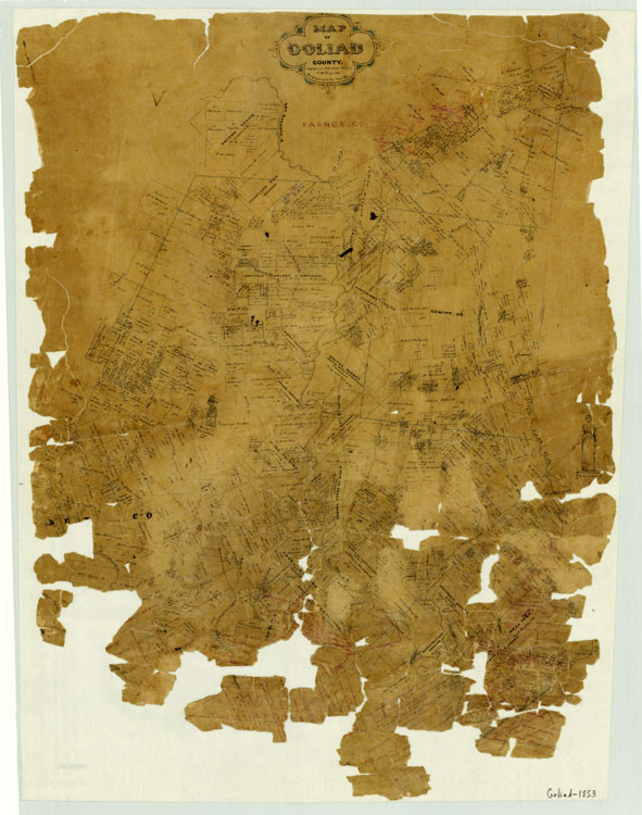
1853 Map of Goliad County
Map/Doc #: 3585
Digital TIF Size: 355.87 MB
Digital PDF Size: 7.11 MB
Subject: County Maps.
Title 1: Goliad County
Title 2: Map of Goliad County
Region: South Texas Plains
County: Goliad
Creation Date: 2/xx/1853
Publisher: Texas General Land Office
Draftsman: Charles W. Pressler
Size: (in inches) 30.7 x 24.2
Format: manuscript
Scale Per Inch: 4000 varas
General Features: Drawing of an unnamed mission on William D. Sutherland's Survey by the San Antonio River.
surveys, creeks
Named Features:
Towns: Helena
Forts: Goliad
Missions: Espiritu Santo, Rosario
Roads: Copano, Victoria, Anastasia, San Antonio, Mier, Matamoros
Rivers: San Antonio
Collection: County
Maps courtesy of Texas General Land Office
Join
Us